On Foot
Trails & Tracks
The best bushwalks and trail runs in Blackheath and the upper Blue Mountains. From the cottage gate to the valley floor.
Why Blackheath
The walking starts at the gate. The running never stops.
Blackheath is the highest village in the Blue Mountains, and the closest to the best trails. The Cliff Top Walk passes within a few minutes of the cottage. The Grand Canyon, Perrys Lookdown, Pulpit Rock and Porters Pass are all within a fifteen-minute drive. The terrain ranges from gentle fire trails to technical descents that demand full attention. Whether you want a sunset stroll or a dawn trail run, the upper mountains deliver. If you're considering a longer or trickier walk or run, we are happy to advise on your options, and possibly assist with a car shuffle.
 Walk
WalkCliff Top Track
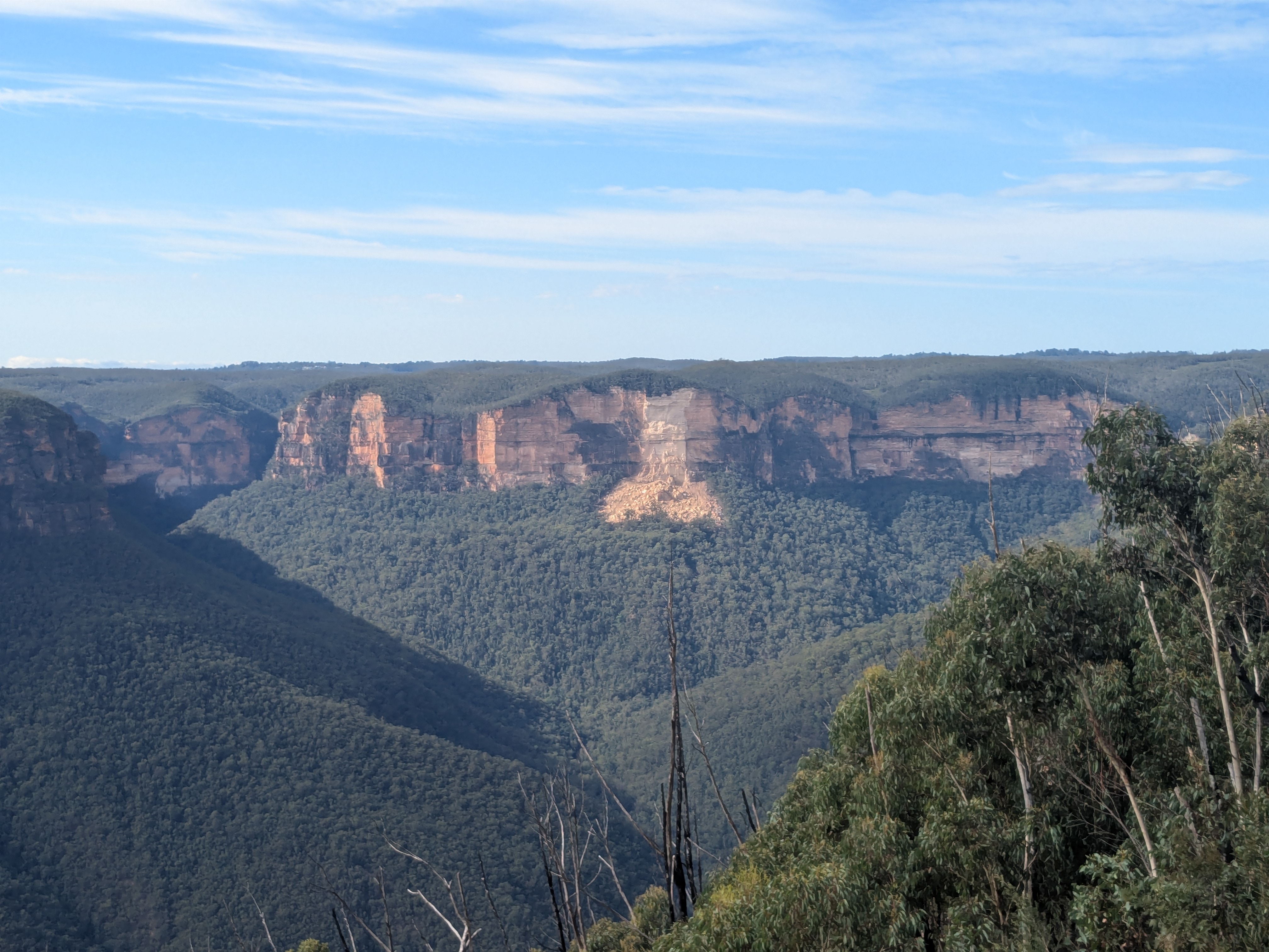
The section from Govetts Leap to Evans Lookout is the most dramatic in the mountains. The track hugs the cliff edge, passing through hanging swamps and stands of scribbly gum. In spring, the waratahs are shoulder-high. The lookout at the end looks straight down the Grose Valley - 300 metres of air between you and the river.
 Walk
WalkPorters Pass to Centennial Glen
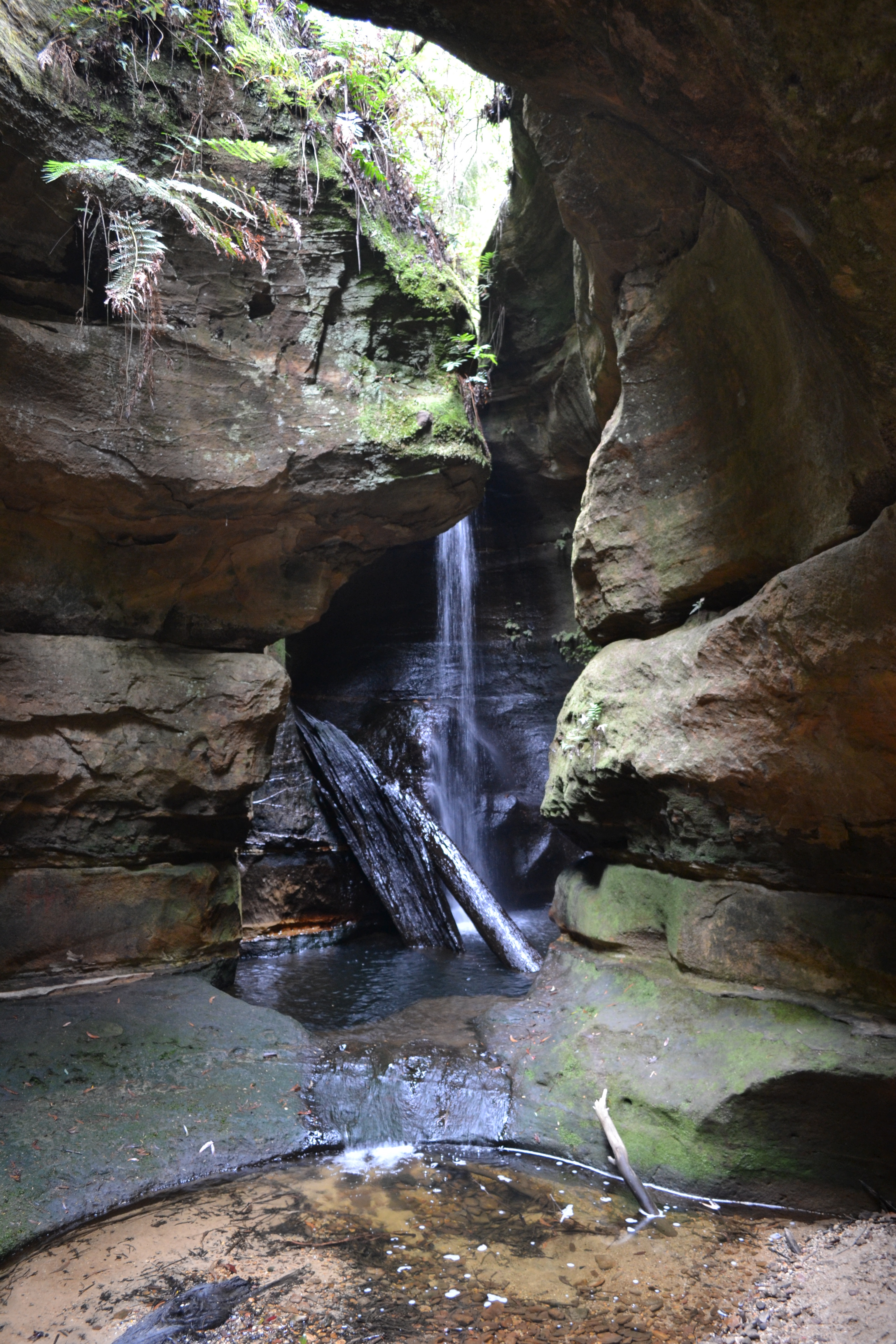
A loop that descends from the plateau into a hidden canyon, then climbs back through a canyon of sandstone and tree ferns. The creek crossings are stepping stones - dry feet are not guaranteed. The climb out is steep but short. The reward is a view across the Kanimbla Valley that most visitors never see.
 Walk
WalkGrand Canyon Track
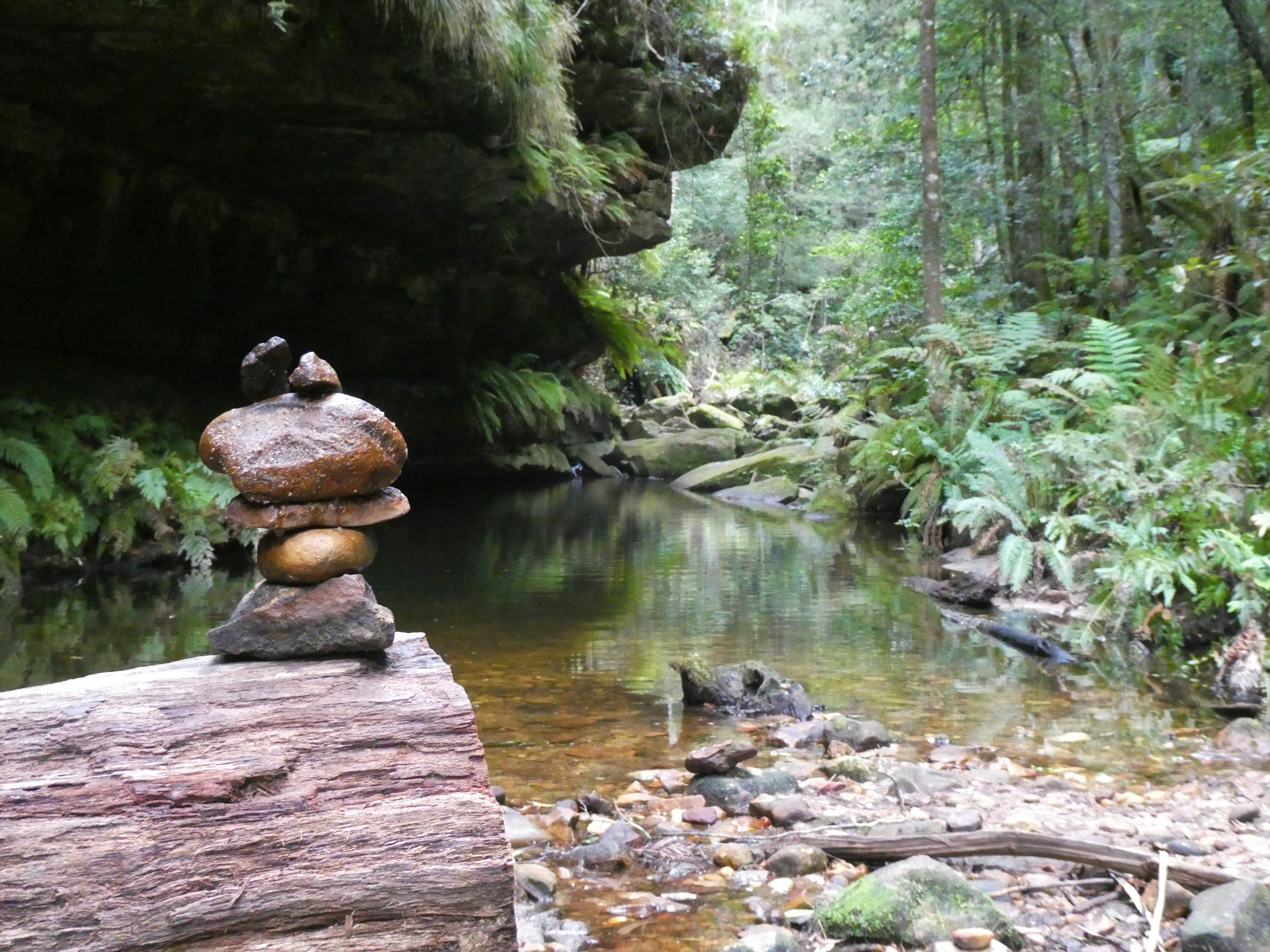
The most famous tourist walk in the Blue Mountains (if not all of Australia) for good reason. A descent into a true canyon, with precipitous walls of sandstone rising on both sides. Multiple creek crossings on stepping stones, climb through rainforest, and emerge at Neates Glen. Named by early visitors who declared it rivalled the American original.
 Trail Run
Grand Canyon Running Loop
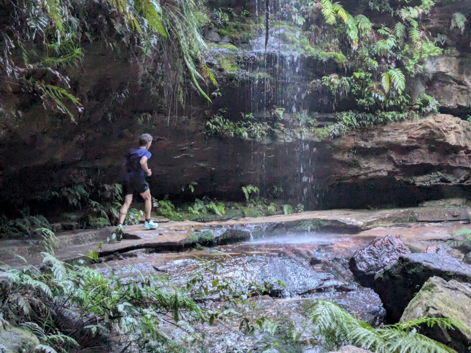
Grand Canyon is part of a couple of well known ultra-trail races for good reason. A descent into a true canyon, with precipitous walls of sandstone rising on both sides. Multiple creek crossings on stepping stones, climb through rainforest, and emerge at Neates Glen. The loop is runnable but technical in sections, with loose rock and tree roots. Not for beginners.
 Walk
WalkGovetts Leap to Perrys Lookdown
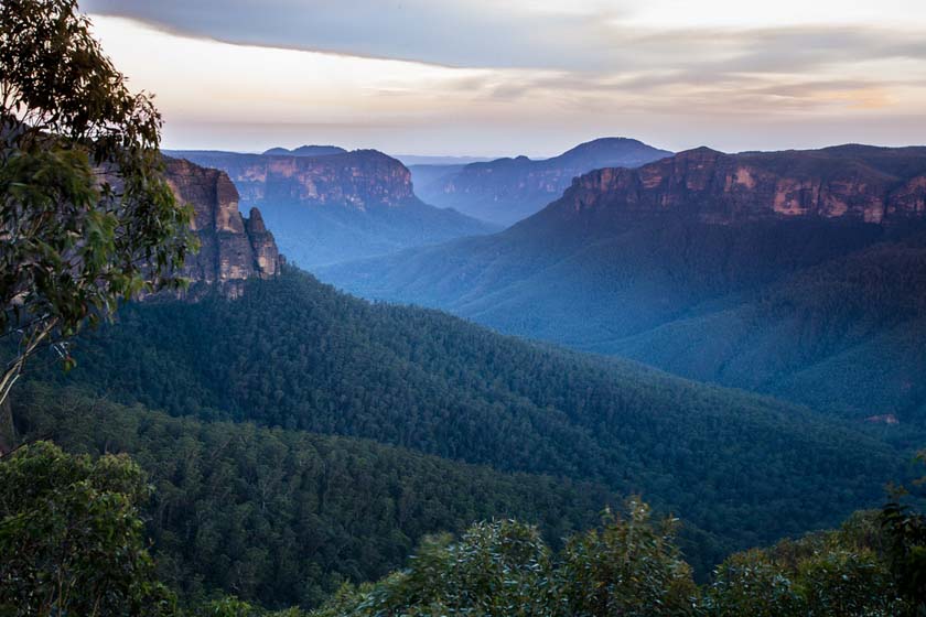
The full cliff walk experience. Start at Govetts Leap, follow the edge of the Grose Valley past Bridal Veil Falls, Horseshoe Falls, and multiple unnamed lookouts. The track undulates along the escarpment, dropping into gullies and climbing back to the rim. Finish at Perrys Lookdown with a view that makes the effort worthwhile.
 Trail Run
Evans Lookout to Perrys Lookdown via Grose (Trail Run)
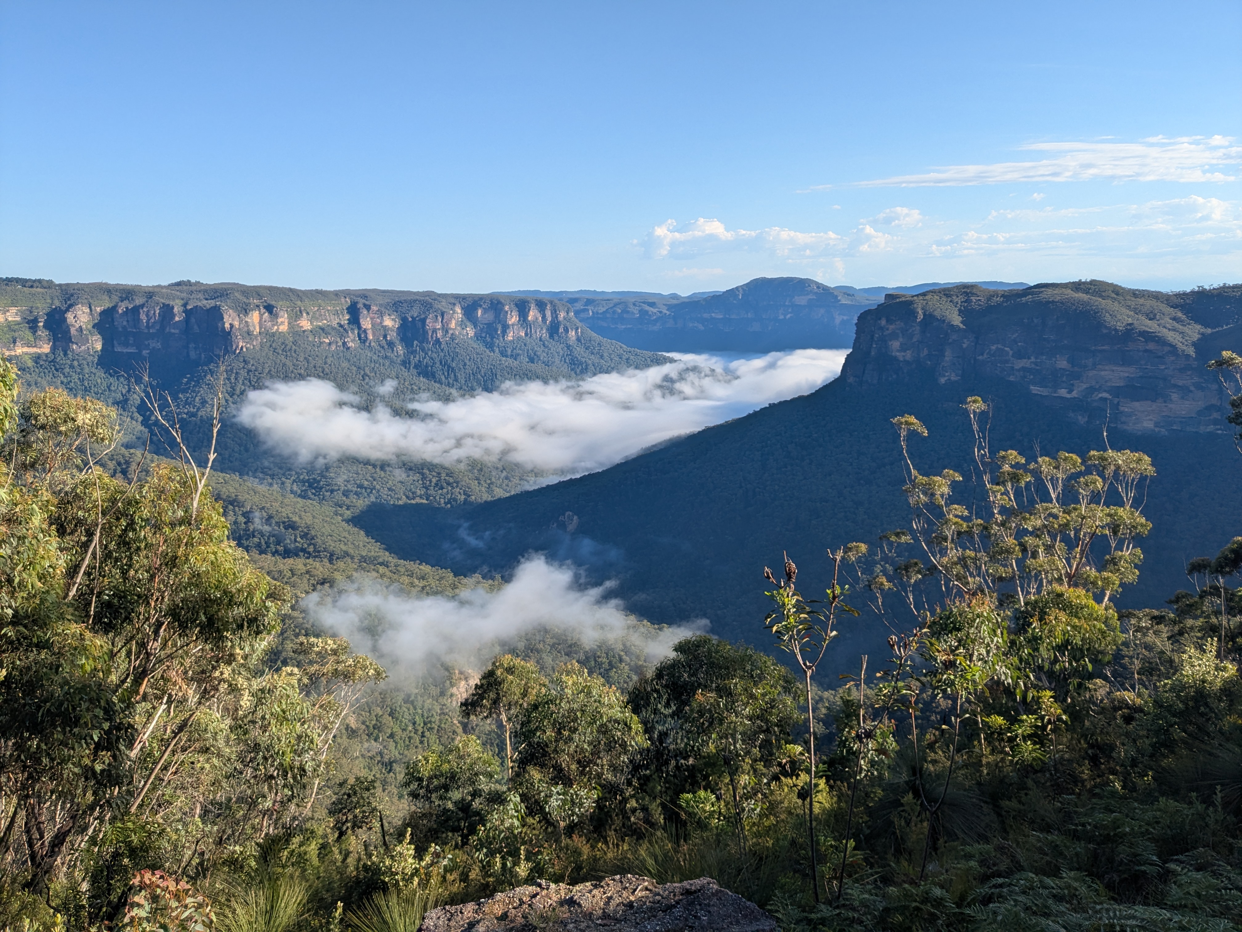
A point-to-point trail that descends 600m from Evans Lookout into the mighty Grose Valley via the Horsetrack. From there it is mostly flat with gentle undulations as you follow Govetts Creek downstream, first to Junction Rock, then Acacia Flat campsite, and eventually to the base of Perrys Lookdown where the final 600m climb begins. All single track, the surface is mostly dirt, with short sections of rocky riverbed.
 Trail Run
Perrys Lookdown to Mount Victoria via Grose (Trail Run)
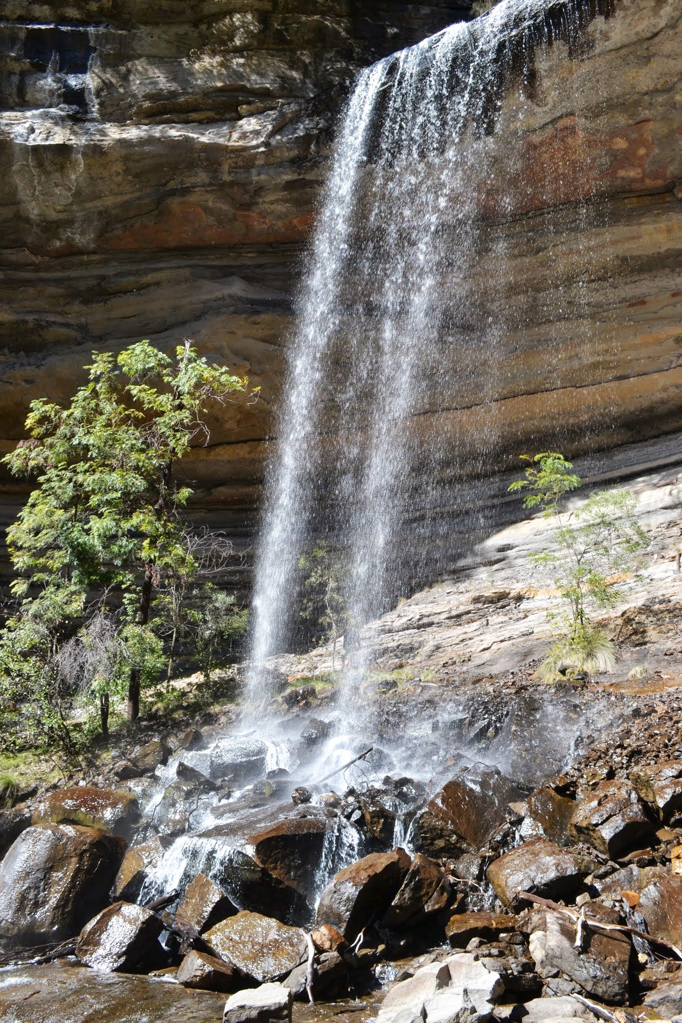
A point-to-point trail that descends 600m into the mighty Grose Valley. From there it is mostly flat with gentle undulations as you run upstream. All single track, the surface is a mix of gravel and dirt, and short sections of rocky riverbed. After reaching Burra Korain campsite, the trail continues up Victoria Creek towards Silver Cascades before the steep ascent up past the spectacular Victoria Falls to the car park.
 Walk
WalkHanging Rock via Baltzer Lookout
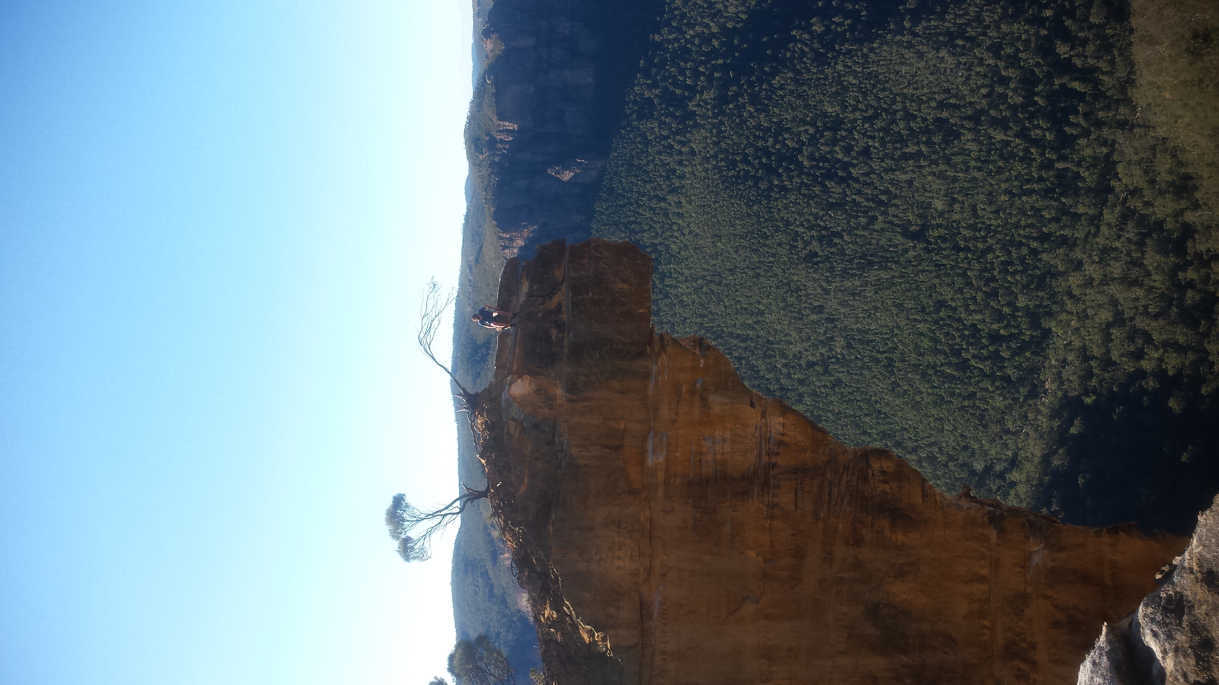
An unofficial track that leads to one of the most photographed rock formations in the mountains. The route follows fire trails, then a faint footpad, then a scramble down a rough rocky track. The rock itself juts out over 200 metres of air. Not for those with vertigo.
 Trail Run
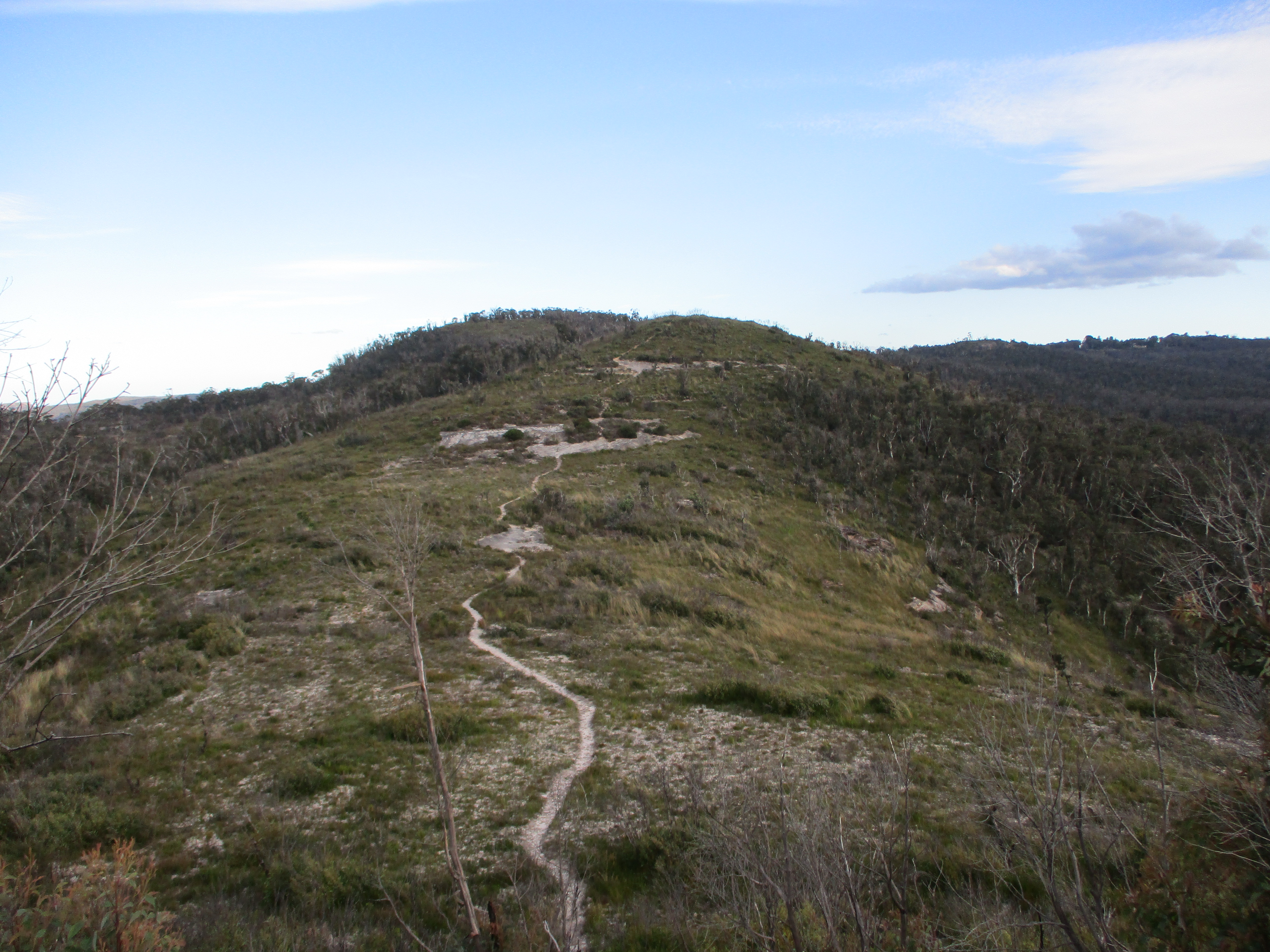
Hat Hill Ridge to Bald Head
An undulating out and back starting at the gate (or Hat Hill car park) that first ascends to Hat Hill. Then continues North along the ridge for 3km. It is relatively flat, and well-graded with views to Sydney on a clear morning.
What to Bring
Proper Footwear
Trail runners or hiking boots with aggressive lugs. The sandstone is slippery when wet. The Grand Canyon track is unforgiving on road shoes.
Water
At least 1.5 litres for a half-day walk, 3 litres for a full day. Creeks are unreliable. A filter is worth carrying on longer runs.
Layers
The temperature can drop 10 degrees in an hour when the fog rolls in. Always carry a wind shell, even on a warm morning.
Navigation
Phone signal is patchy. Download offline maps before you leave. The Organic Maps and Avenza apps both have good Blue Mountains coverage.
Headlamp
Non-negotiable for any run or walk that might finish after dark. The forest is pitch black under cloud cover. 400 lumens minimum.
Tell Someone
Leave your planned route and expected return time with us. We will check on you if you are not back by dark. This is not paranoia - it is the mountains.
Before You Go
Mountain Safety
The Blue Mountains are beautiful and they are unforgiving. Every year, walkers get into trouble because they underestimate the terrain, the weather, or both. \ The cliffs are not fenced. The weather changes fast. The tracks are not always where the map says they are.
- Check the weather forecast the morning of your walk
- Tell someone your route and expected return time
- Carry more water than you think you need
- Do not rely on phone signal for navigation
- Turn back if the weather deteriorates
- The emergency number is 000.
Stay at Hat Hill Cottage
The best trailhead is the one at the end of your driveway.
Check Availability